With AlpineQuest, you can do everything from hiking, running, trailing, hunting, sailing, and geocaching, to off-road navigation.
While out of cell service, you can access and store a wide range of online topographic maps. A number of file-based raster map formats are also supported by AlpineQuest.
The GPS and magnetic sensor of your device (with compass display) ensure you won't get lost anymore: you are located in real-time on the map, which can also be oriented as you gaze.
You can save and retrieve unlimited placemarks, and you can share them with your friends. Get advanced statistics and interactive graphics to track your progress. You won't have to wonder what you can accomplish anymore.
AlpineQuest assists you in exploring the deep wilderness even when there is no cell phone coverage (as often happens in the mountains or abroad).
No advertisements, data sharing, or monetization, no analytics, and no third-party libraries
Now is the perfect time to try the free Lite version!

Features of Alpine Quest APK
Maps
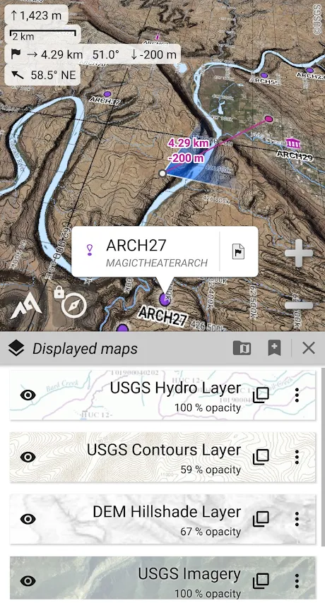
- Online maps (road, topo, satellite maps included) and online layers (road names, hillshade, contours);
- With the included community maps list, you can access more online maps and layers in one click (all major worldwide maps and many local topo maps);
- A complete storage area for off-line use of online maps;
- KMZ overlays, OziExplorer OZFx2, OZFx3 (partly) and calibrated images, GeoTiff, GeoPackage GeoPkg, MbTile, SqliteDB, and TMS zipped tiles (download MOBAC, our free map creator, from our website);
- Support for QuickChart Memory Maps (.qct maps only, .qc3 maps are not supported);
- A built-in calibration tool allows any picture or scan to be used as a map;
- An on-board digital elevation model (1-arcsec SRTM DEM) and the ability to display terrain, hillshade, and steep slopes using HGT elevation files (1-arcsec and 3-arcsec resolutions);
- Support for polar maps (Arctic and Antarctic);
- The ability to display multiple maps in layers, with individual controls for opacity, contrast, color, tint, and blending for each map.
Placemarks
- The ability to create, display, save, and restore unlimited items (waypoints, routes, areas, and tracks);
- Export and import GPX files, KML/KMZ files, and CSV/TSV files;
- Shapefile SHP/PRJ/DBF, OziExplorer WPT/PLT, GeoJSON, IGC tracks, Geocaching LOC waypoints, and AutoCAD DXF files can all be imported;
- Share online locations with other users using Community Placemarks;
- The details, advanced statistics, and interactive graphics of various items;
- Replay time-tagged tracks with the Time Controller.
GNSS Position / Orientation
- GPS/Glonass/Galileo/GNSS receivers or networks can be used for on-map geolocation;
- An orientation map, a compass, and a target finder;
- GNSS/barometric track recorder (long tracking capability) with battery level and network strength measurement;
- Leave path alerts and proximity alerts;
- Compatible devices with barometer support.

And more
- Distance units in metric, imperial, nautical, and hybrid systems;
- Grid coordinate formats (WGS, UTM, MGRS, USNG, OSGB, SK42, Lambert, QTH,...) displayed on the map;