The AlpineQuest app can be used for a wide range of outdoor activities and sports, including hiking, running, trailing, hunting, sailing, geocaching, and off-road navigation.
While out of cell coverage, you can still access and store a wide range of topographic maps online. Moreover, AlpineQuest supports maps that are stored on the device in file format, such as MemoryMap© maps.
With the GPS and magnetic sensor of your device (with compass display), you no longer have to worry about getting lost: you can locate yourself in real-time on the map, which can be adjusted to suit your view.
You can save and retrieve placemarks, and you can share them with your friends. Keep track of your progress, view advanced statistics, and interact with interactive graphics. As a result, you won't have any questions about your ability to succeed.
AlpineQuest assists you in all your exploration needs by staying fully operational out of cell coverage (as often happens in mountainous regions or abroad).
Features of Alpine Quest APK
Maps Stay Available, Always
Despite being n-networked, AlpineQuest can access file-based maps stored on your SD memory card.
Maps can also be displayed on websites when you have access to the Internet. Data is automatically stored locally so that it can be accessed offline.
Displaying maps is fast, signal quality depends more on the network, and downloaded data volume is drastically reduced.
The map can be oriented according to the north (by the magnetic sensor), and you can be located on them (by the GPS chip).
A free software program called Mobile Atlas Creator allows you to create your own offline maps based on files. Your PC can be used to create maps using high-speed Internet access at home.
- Display AlpineQuest (.AQM/.PGD) file based maps
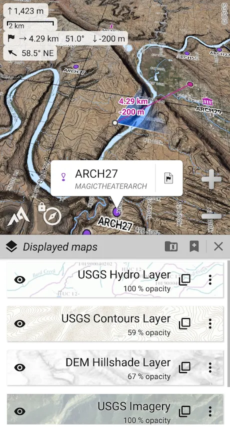
- A locally built-in online map display and storage feature (road, topo and satellite maps are available), including USGS Topo and Swiss Topo maps.
- Maps can be displayed as layers that can be manipulated in terms of opacity, contrast, and saturation
- The offline elevation model (DEM) includes terrain, hillshade, and slope layers of high quality
- Maps based on files like GeoPackage, Memory-Map QCT, OziExplorer OZF2, MBTile, GeoTIFF, CompteGPS RMaps, etc.
- KML/KMZ overlays from calibrated images can be imported
- The Community Maps list, custom MOBAC map files, and user-defined maps can be added to the list of online map sources

Placemarks
AlpineQuest supports GPX (GPS files), KML/KMZ (Google Earth files) and LOC (Geocaching) files.
AlpineQuest also allows you to save locations, routes, areas, and tracks. Statistics can be exported to any compatible application, such as Google Earth.
- You can store and retrieve unlimited waypoints locally
- Placemarks such as areas, routes, and tracks can be handled in complex ways
- A track's statistics and graphics
- Placemarks that are time-tagged by time have an impact
- Placemarks can be imported and exported from GPX, CSV, Google Earth KML/KMZ, OziExplorer PLT/WPT, GeoJSON, and IGC files
- The ability to store and share online locations, as well as exchange information on the map with other users

Without limits, track your paths
With AlpineQuest, you have access to a powerful GPS location tracker that can record all your tracks for hours at a time. You can access advanced statistics and display dynamic graphics at any time.
AlpineQuest can also calculate and use barometric elevations using the air pressure sensor on your device.
- A map-based localization system, a track of previous locations, as well as GPS and barometer status boards1
- The compass, the map's orientation to match your current direction, and the target finder2
- GPS Location1 and barometric altimeter tracker are built-in
- Stats and dynamic graphics for your tracks (elevations, speeds, incline, accuracy, pressure, etc.)
- You can export your tracks as GPX and KML for use in external applications, such as Google Earth
